Floodplain Management & Information | Miramar
Floodplain Management Plan - Take the Survey
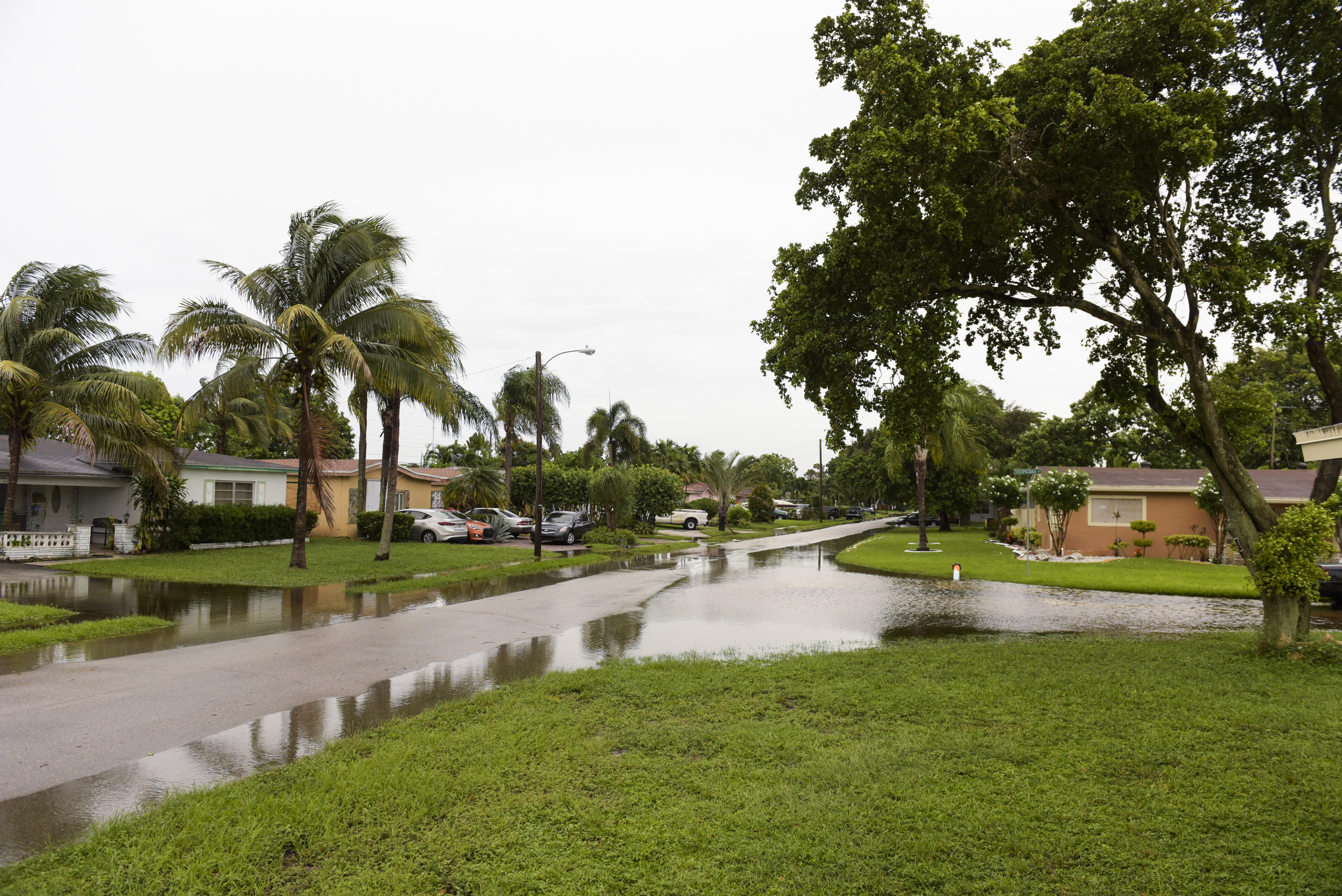
The City of Miramar is preparing a Floodplain Management Plan (FMP) and we need your input! The public is invited to participate in this planning effort by completing a survey. Information from the survey responses will be analyzed and incorporated into the FMP. Public input will help the planning committee to identify flood risks, understand local vulnerabilities, and select appropriate and achievable mitigation strategies to protect the City and its residents from flood impacts.
Click HERE to complete the survey.
Flood Risk Assessment Draft(PDF, 7MB)
View Meeting Presentations and Minutes

Know Your Flood Zone
Accessing Flood Maps and Elevation Certificates via Forerunner
To facilitate compliance and enhance accessibility to flood-related information, Miramar employs Forerunner. This platform allows property owners to search and access comprehensive flood-related data, including existing elevation certificates.
Access Website
Forerunner enables community members to perform the following searches:
- Search for a property’s flood risk: Each property in the City will have a unique public profile with available flood data. Community members can now search for a property on the homepage by address to find its flood zone, FEMA- provided Base Flood Elevation (BFE). Design Flood Elevation (DFE), important flood-compliance-related warnings, and more.
- Find Elevation certificates and other important flood-related documents for a property: Need an Elevation certificate for a permit or for insurance purposes? If there is document on file, community members can now find it in the searchable Elevation Certificate page , or on the property’s unique public profile – saving the cost of getting a new one.
- Review Substantial Improvement/Substantial Damage information for a property: Homeowners seeking to make improvements to a property may unknowingly nearing the property’s substantial improvement threshold, i.e., improvements in the last 5 years amounting to half of the assessed value of the current structure on the property. The site contains a property’s previous improvement or damages that will help community members understand possible limitations to their plans.
Additional Information
Documents Required for Flood Insurance
When applying for flood insurance, you will typically need the following documents:
- Elevation Certificate: This document provides details about your property’s elevation relative to Base Flood Elevations (BFEs). It is crucial for determining accurate insurance premiums.
- Property Information: Basic details about your property, including its location, construction type, and occupancy.
- Proof of Ownership: Documents that verify your ownership of the property, such as a deed or title insurance policy.
- Contact Information: Your insurance agent’s contact details and information about any existing flood insurance policies.
Benefits of a Class 8 CRS NFIP Rating Discount
We are pleased to inform you that our city participates in the Community Rating System (CRS), which rewards communities for implementing floodplain management practices that exceed the NFIP's minimum requirements. Currently, our city holds a Class 8 rating under the CRS. This achievement qualifies residents for a 10% discount on flood insurance premiums for properties located in SFHAs such as the newly designated zones.
How to obtain an Elevation Certificate:
An elevation certificate is a document prepared by a licensed land surveyor, engineer, or architect that provides important information about your property's elevation in relation to the Base Flood Elevation (BFE). This document is crucial for accurately assessing flood risk and determining flood insurance premiums.
- Contact Your Insurance Agent: Your insurance agent can assist you in obtaining an elevation certificate or can recommend a licensed professional who can perform the survey and prepare the certificate.
- Local Government Offices: If your property is newly developed or has undergone significant changes, copies of elevation certificates may be on file with the Building, Planning, and Zoning Department. Please contact the department directly or follow the Forerunner instructions provided below to access elevation certificates.
- Licensed Professionals: You can hire a licensed land surveyor, engineer, or architect to conduct a survey of your property and prepare an elevation certificate. Ensure that the professional you choose is qualified and experienced in preparing these documents.
Why is an Elevation Certificate Important?
Having an elevation certificate allows you to:
Determine the correct flood insurance premium rates based on your property's actual flood risk.
Ensure compliance with FEMA and NFIP requirements for properties located within SFHAs.
Provide accurate information to potential buyers about flood risk and insurance requirements.
Additional Resources and Assistance:
If you have questions about obtaining an elevation certificate or need further assistance, please contact Building, Planning, and Zoning Department at (954) 602-3281 or email nlebrun@miramarfl.gov.